website statistics

MAPS & PLANS
of Chester

  • Chester Plan by Geor Braun & Franz Hogenberg c.1685

    Chester Plan by Geor Braun & Franz Hogenberg c.1685

  • The Jansson edition of Braun & Hogenberg's Plan of Chester c.1660

    The Jansson edition of Braun & Hogenberg's Plan of Chester c.1660

  • Chester Plan by Pieter vander Aa c.1729

    Chester Plan by Pieter vander Aa c.1729

  • Chester Plan by Francesco Valeso c.1600

    Chester Plan by Francesco Valeso c.1600

  • Plan of Chester by J. C. Bear, 1690

    Plan of Chester by J. C. Bear, 1690

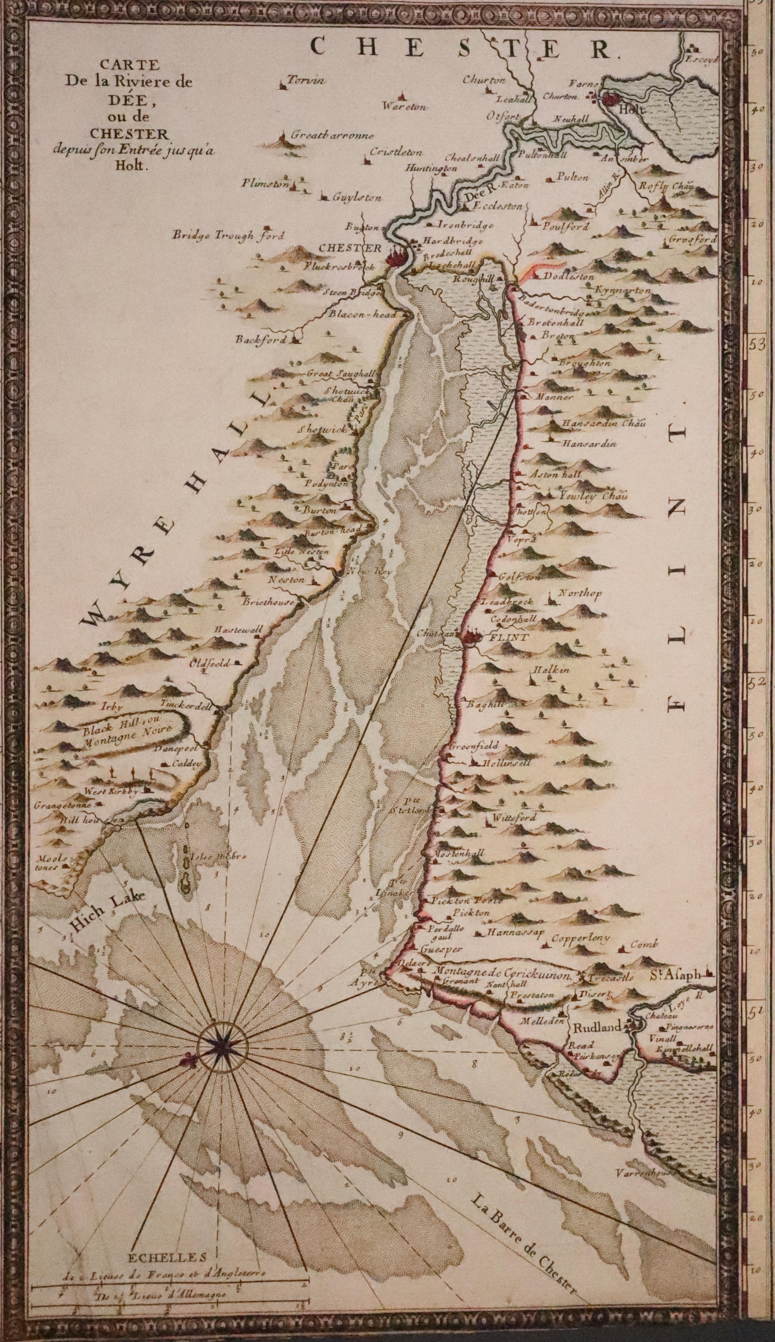
  • River Dee by Gerard van Keulen, c.1730

    River Dee by Gerard van Keulen, c.1730

  • Plan of The City and Ancient Walls of Chster, c.1860

    Plan of The City and Ancient Walls of Chster, c.1860

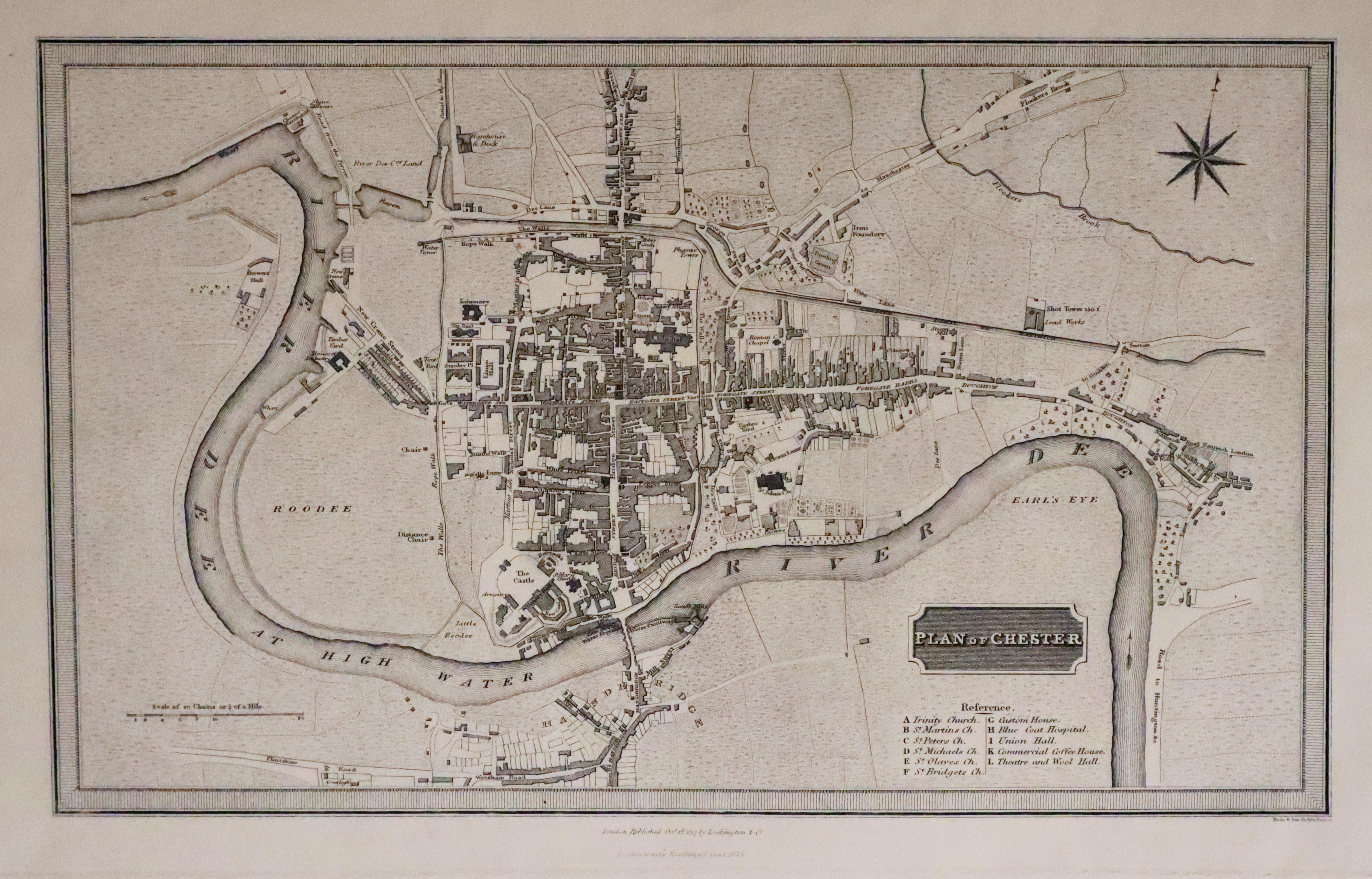
  • Plan of Chester by Neele & Son first published in 1817. 1875 edition

    Plan of Chester by Neele & Son first published in 1817. 1875 edition

ANTIQUE MAPS & PRINTS FOR SALE

You will find a large selection of antique maps and prints not only of Chester and Cheshire but of many other counties in the British Isles as well as countries around the world.

Top
Old Plans and Maps of Chester